Indonesia fires scorch 2.88 million hectares so far in 2026, monitor says
Satellite analysis shows burned area has already surpassed the worst full-year record from 2019.
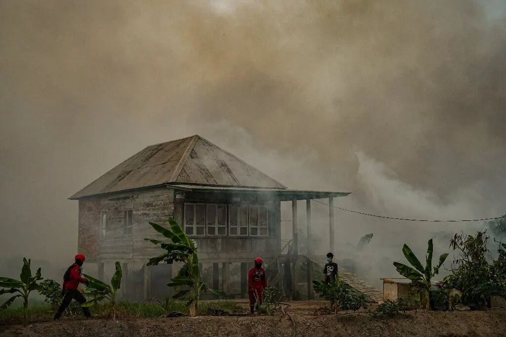
Wildfires in Indonesia have burned through approximately 2.88 million hectares (7.1 million acres) as of late October 2026, according to an analysis by the monitoring site Nusantara Atlas. That area is roughly 18 times the size of London and has grown by nearly a million hectares since the site's previous update in September.
Nusantara Atlas founder David Gaveau described the figure as a conservative estimate, partly because smoke has obscured satellite imagery. Even so, the burned area already exceeds the full-year total for 2019, which had been the worst year on record in the site's data. A direct comparison with the severe fires of 2015 is difficult because different satellite imagery was used at that time.
The Indonesian government has not released official figures since it reported 202,000 hectares burned by the end of July. Forestry ministry spokesman Ristianto Pribadi said the government is still working on updated estimates, noting that confirming the data requires in-depth verification and that no announcement schedule has been set.
The fires have been worsened by an intense drought linked to the El Niño weather pattern, as well as decades of deforestation and the draining of peatlands for plantations. The blazes have caused severe local air pollution affecting hundreds of thousands of people, and haze has spread to neighboring countries including Malaysia and Singapore. Recent rains have helped bring some of the worst fires under control, and the number of detected hot spots is beginning to decline. However, the total burned area is expected to rise further as remaining fires continue and burn scars previously hidden by smoke become visible to satellites.
Source: Phys.org